Innovation
Developing and building on several technologies to enable more capable, reliable, and safe autonomous flights in congested urban areas and other severe geographical environments, all hosted on Asymmetric’s IronClad SecureFlight Controller as the central, secure hub hosting.
Background
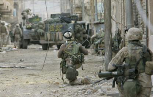
Certain emerging autonomous/unmanned aerial system (UAS) mission capabilities offer great promise for increasing soldier safety and mission effectiveness. These specific UAS mission types include casualty evacuation and medical evacuation (CASEVAC and MEDEVAC) and resupply tasks (on-demand medical supplies, ammunition, food, etc.). Using autonomous airborne platforms for these missions is especially important in congested urban environments where it may be difficult to accomplish the tasks with ground-based assets. However, flights (especially autonomous flights) in these urban environments are notoriously difficult and unreliable for several reasons:
- Closely grouped buildings and structures cause unpredictable and severe wind turbulence, which can cause unstable flights, landings and takeoffs, flight path deviations, or crashes.
- These same buildings and structures reflect and block GPS signals, making reliable GPS navigation almost impossible in urban canyons (and naturally occurring canyons).
- Additionally, close-in collision avoidance technologies typically require heavy, power-hungry and computationally intensive sensor systems, which reduces flight times and payload capacities.
Asymmetric Technologies, in partnership with The Ohio State University’s Aerospace Research Center, Ohio University Avionics Engineering Center, and Lockheed Martin Procerus(LM Procerus) proposes Autonomous Capabilities for CASEVAC and Resupply in Urban Environments (ACCRUE), which are several technologies to enable safer, more capable, and more reliable autonomous flights in congested urban areas and other severe geographical environments. The ACCRUE capabilities directly address AOIs #1 and #3 in the OFRN SOARING Round 5 announcement and this effort has support and sponsorship from the Air Force Research Laboratory’s (AFRL’s) Aerospace Directorate and the Air Force Special Warfare Branch.
All ACCRUE technologies will use Asymmetric’s proven IronClad Secure Flight Controller as the central, secure flight control solution and computing hub.
The Ohio State University’s Aerospace Research Center will transition advanced capabilities for wind turbulence measurement, mapping and mitigation.
Ohio University will lead the integration of anon-GPS-based navigation and collision-avoidance solution for urban and other congested environments.
LM RMS Indago quadcopters act as “Sentries” that provide precise positional data to the larger UAS as it enters the urban can yon or other areas with geological or man-made occlusions.
Close-in collision avoidance for the CASEVAC/resupply UAS is accomplished using a unique hybrid LiDAR + camera system (developed at Ohio University) that provides feedback directly to path planning modules on the Iron Clad SFC.
Commercial Goal
A project-concluding demonstration will involve scaled-down, simulated urban canyons complete with wind gusts and GPS occlusions to showcase the ACCRUE technologies. This same high-functioning team was awarded a grant under OFRN SOARING Round 4, and before completion of that project we have already leveraged the technologies developed into $3 million in awarded follow-on federal funding for the State of Ohio with another $4 million in likely-to-be awarded outstanding proposals. For Round 5, the team estimates $11 million in follow-on federal funding and the creation of 28 jobs in the State of Ohio.


